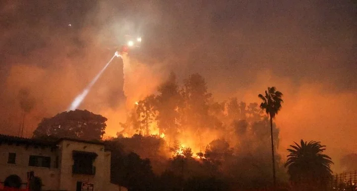
Fire-ravaged Los Angeles has just been placed under an unprecedented wind warning amid fears 70mph gusts could trigger a new inferno.
The National Weather Service has issued a fourth 'particularly dangerous situation' warning starting at 4 am on Tuesday. It advises caution as winds with speeds of up to 70 mph are expected to persist until noon on Wednesday.
A large portion of the bone-dry city is now under this new warning, stretching from Ventura through much of the San Fernando Valley. Meanwhile, regions spanning from San Diego to San Bernardino are still under traditional red flag warnings.
This latest warning follows three previous ones issued during this fire season, all of which have wreaked havoc in the heavily populated area. Ongoing fires like the Palisades and Eaton incidents have now become some of the deadliest in the history of California.
Much of the area around Malibu and the Pacific Palisades are also under the new warning, where at least 24 people have died and over 12,000 buildings have been destroyed in multiple fires.
Meteorologists warn that unseasonable drought-like conditions have turned the city into potential kindling as high winds set in.
The last significant rainfall in downtown Los Angeles came in May 2024, and since October 1 just 0.16 inches of rain has fallen - compared to a historical average of 5.34 inches by this time, reports the LA Times.
Climatologist Bill Patzert told the outlet that 'the past nine months has been one of the driest in the historical record going back to 1900. During my career, I've never seen punishing Santa Ana events so overwhelm the normal winter rain season.'
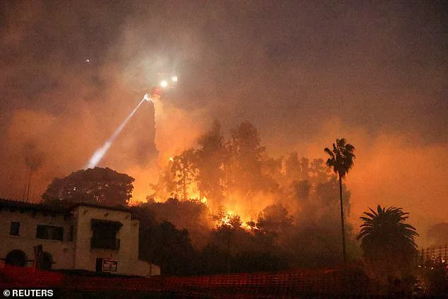
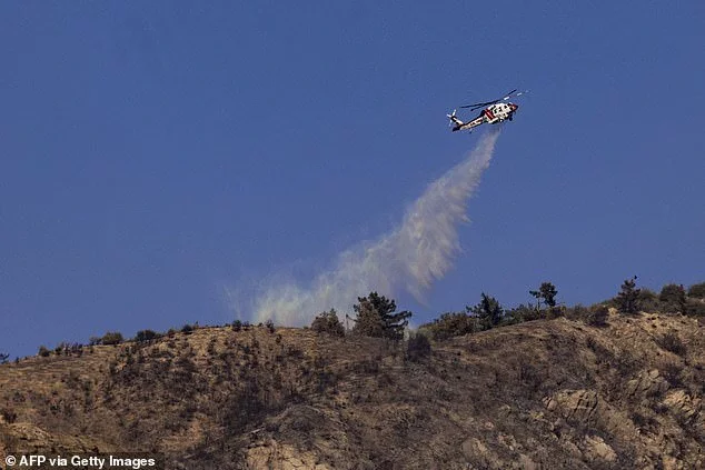
In each of the three previous instances of 'particularly dangerous situation' fire warnings being issued this season, the resulting blazes brought devastation to the area.
The first in November, the Mountain Fire in Ventura County, burned almost 20,000 acres and razed over 240 buildings.
The next month the Franklin fire hit Malibu and destroyed 20 buildings, before the Palisades and Eaton fires this month came and marked the most dangerous and destructive yet.
According to the LA Times, the 'particularly dangerous situation' alert was traditionally only used by the National Weather Service for particularly devastating tornadoes.
But in 2020 the NWS office in Oxnard, California also adopted it as it warned of increasingly extreme fire conditions in the region.
'Any kind of red flag warning is dangerous. But there's a gradient even within that range of situations, and so we wanted a way to message the extreme of the extremes. And the PDS is what came from that,' NWS meteorologist Ryan Kittell said this week.
If any small fires start, he said, the conditions in the area are primed for a rapid spread that firefighters will struggle to contain.
'These winds can definitely stir up some of those hot spots and kind of reignite the fires,' Kittell added. 'If you do encounter a lull, don't anticipate that the event is over or that the forecast is busted. Stay vigilant all the way through Wednesday, as the winds can really peak at any time.'
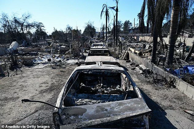
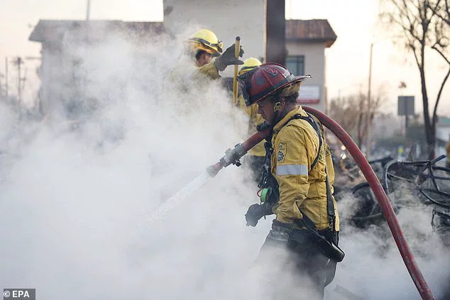
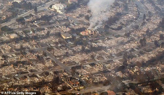
As the death toll surged to 24 in recent days, officials warned that the figure is expected to grow as crews are still unable to search through swathes of the torched city.
Cadaver dogs have been used to access the smoldering wreckages of entire neighborhoods, with traditional techniques for identifying the dead such as DNA often unable to be used.
The winter infernos have forced authorities to rethink the way they've historically mapped out 'fire seasons' throughout the year.
Cal Fire information officer David Acuña said the official body have now 'done away with the term fire season' because it simply is no longer accurate.
'We now refer to it as fire year,' he said.
Looking to the week ahead, Acuña warned: 'Anything that is not currently on fire or was not on fire means that it's a potential start. There's so much fuel on the ground, and by that, I mean grass and brush.'



Comments